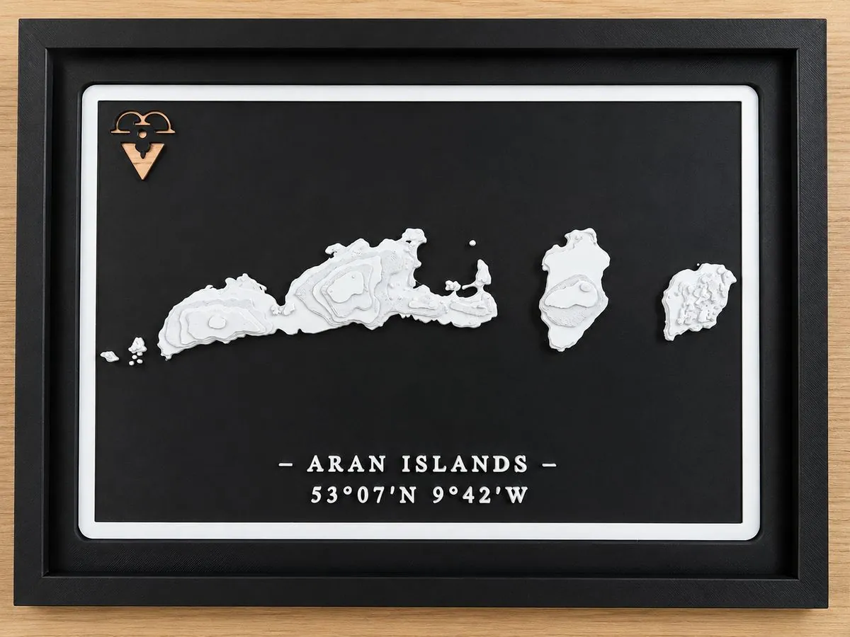
3D printed topographic map of the Aran Islands, County Galway, Ireland

Drop 002 · Handcrafted in Dublin

Aran Islands 3D Map

53°06'N  9°40'W

From €29.00

Three limestone islands sitting across the mouth of Galway Bay. Inis Mór, Inis Meáin and Inis Oírr, with the stone walls, the cliff edges and the shape of the Atlantic around them, captured in precise 3D relief from real elevation data, with the coordinates engraved on the piece.

Unlocks in

00Days
:
00Hours
:
00Min
:
00Sec

Wednesday 26 August 2026, 12:00 Irish time

On sale from 26 August · Secure checkout via Stripe · Shipping & returns

Why the Aran Islands?

Inis Mór, Inis Meáin and Inis Oírr sit out in Galway Bay, at the edge of the Wild Atlantic Way. Bare limestone, a grid of dry stone walls built by hand over centuries, and cliffs that drop straight into the ocean at Dún Aonghasa. Irish is still the everyday language there. Few places in Ireland feel as much like their own world.

This map is built from real geographic and elevation data of the three islands. The terrain is modelled in 3D, then printed layer by layer in our Dublin workshop in eco-friendly PLA with a white matte finish. The real coordinates are engraved at the base of the piece.

It makes a lasting souvenir of the ferry over from Ros a' Mhíl or Doolin, and a distinctive Irish gift for anyone who has cycled the length of Inis Mór.

Every map is printed fresh when you order it. No stock, no warehouse, no two prints exactly alike. Want a different place instead? We also make a custom 3D map of any city, street or place in the world, and Drop 001, the Cliffs of Moher map, is on sale now.