How it's made
From data to your wall
Every Grá Maps starts as raw geographic data and ends as a physical object you can touch. Here's what happens in between.
[ Workshop photo — Dublin ]
Replace with your 3D printer photo
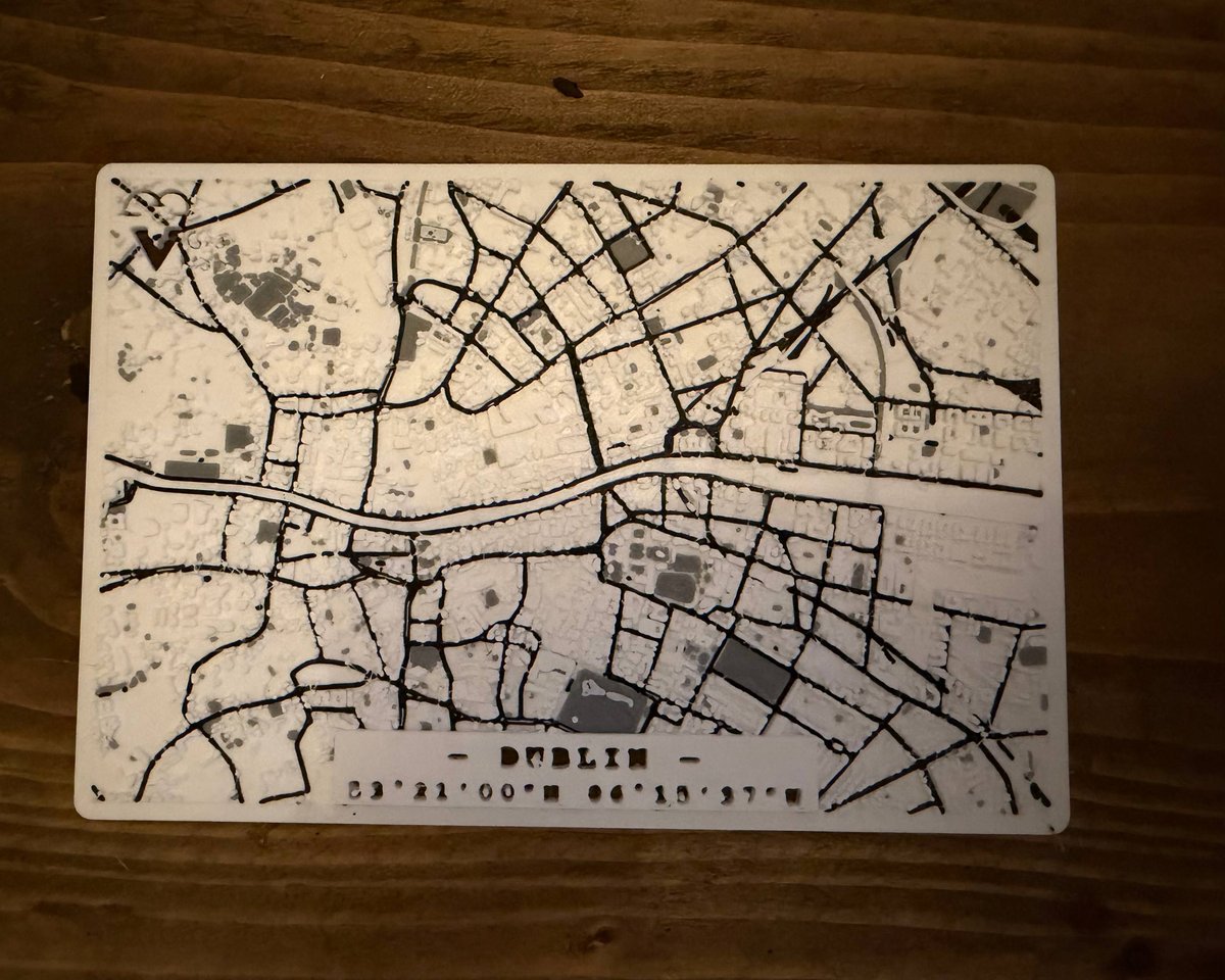
Real geographic data
We start with raw data from OpenStreetMap — millions of GPS coordinates, building footprints, road networks, elevation points. Every street, every building, every park. All of it, open and precise.
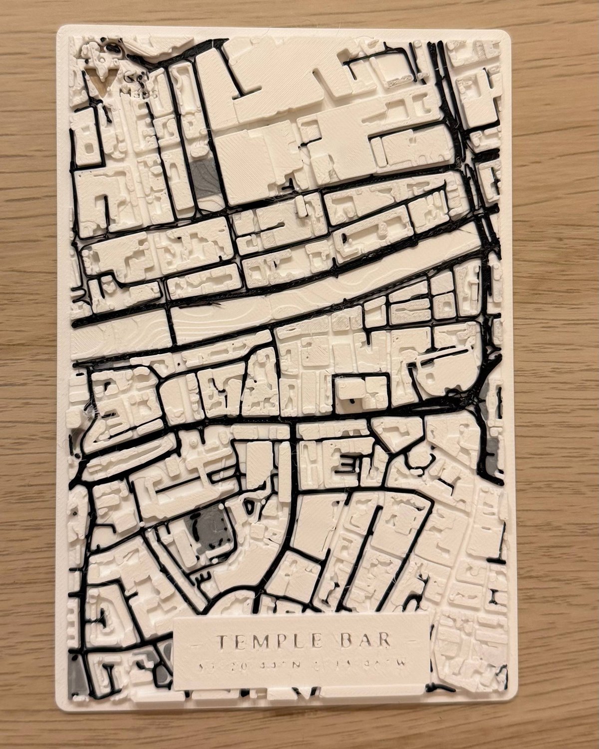
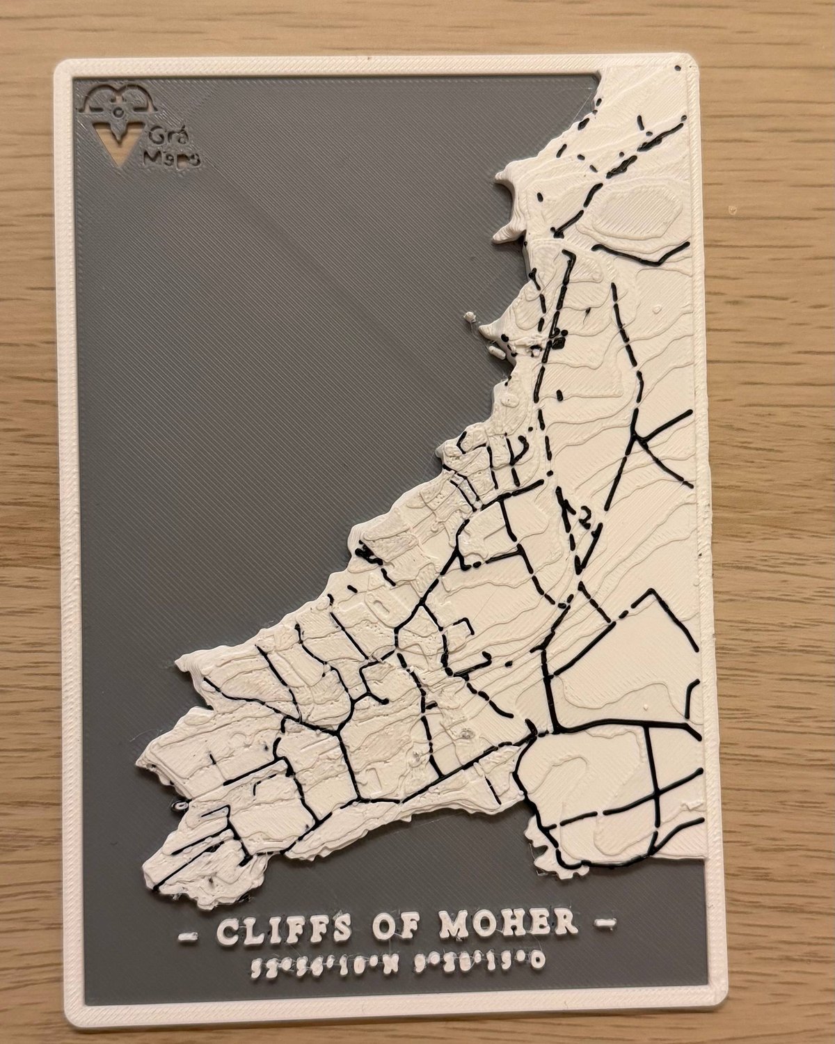
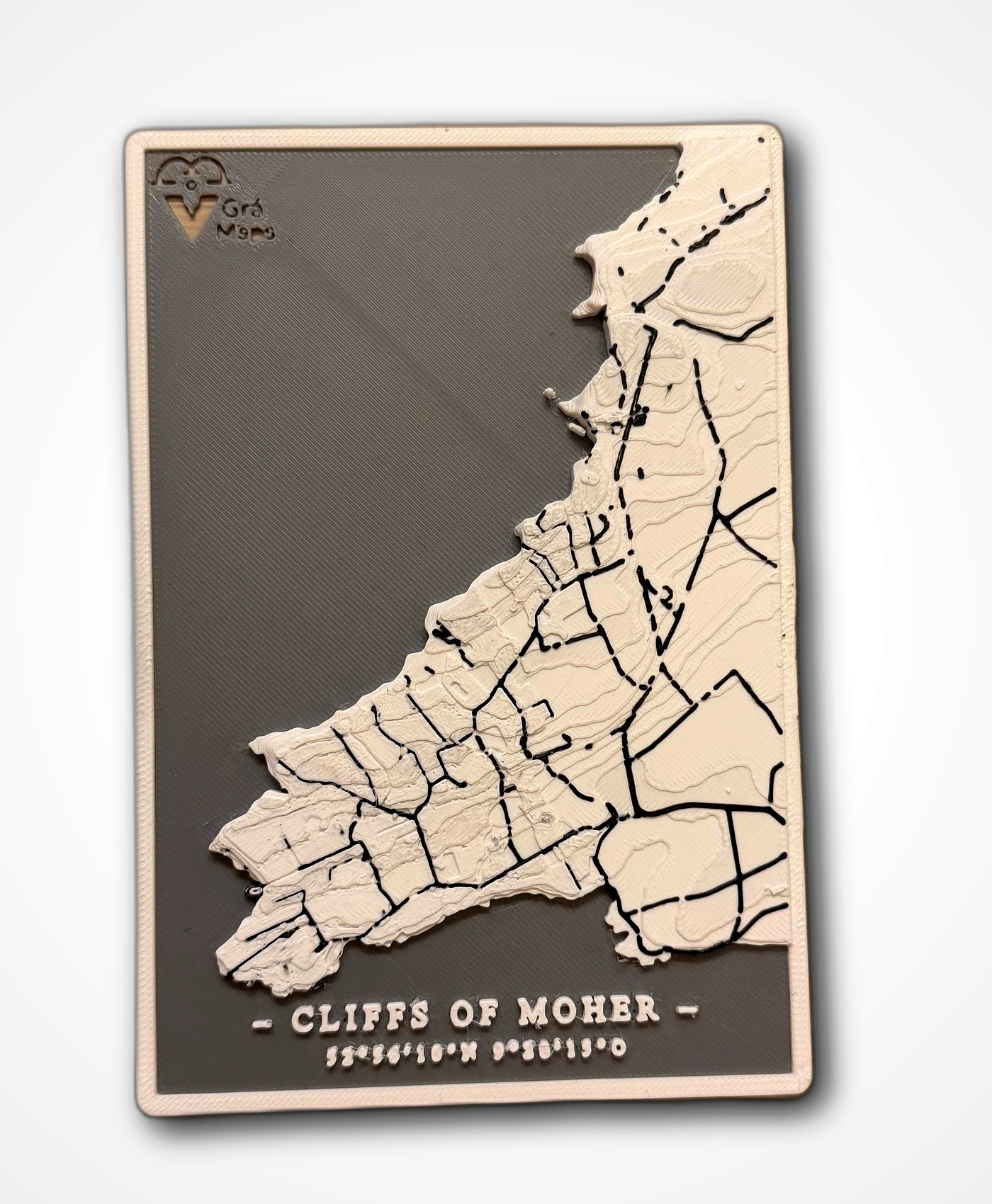
Modelled in 3D
Our pipeline converts that raw data into a precise 3D model. Every building extruded from its footprint, terrain shaped from elevation data, roads carved into the surface as clean channels.
Printed in Dublin
Each map is printed fresh when you order. No stock, no warehouse. Just our printers running in our Dublin workshop, layer by layer, in eco-friendly PLA. No two prints are ever exactly alike.
Yours to keep
The result: a wall piece that's uniquely yours. Real coordinates engraved at the bottom. Carefully packaged and shipped to your door within 2–3 days.