Drop 001 · Handcrafted in Dublin
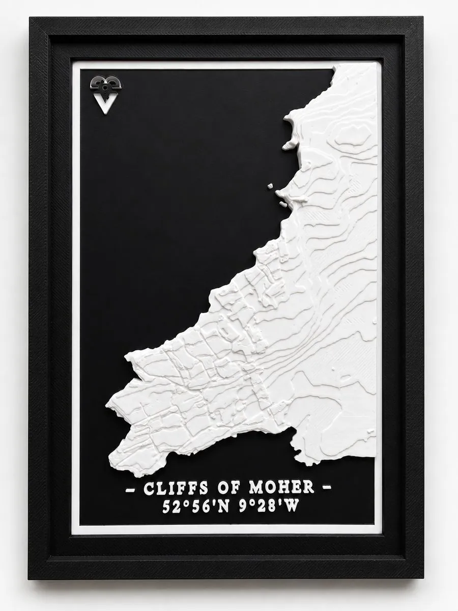
Cliffs of Moher 3D Map
52°56'N 9°28'W
From €29.00
Ireland's most dramatic coastline, turned into a physical object. The sheer 214-metre drop into the Atlantic, O'Brien's Tower and the rugged Clare coast, all captured in precise 3D relief from real elevation data, with the coordinates engraved on the piece.
Unlocks in
00Days
:
00Hours
:
00Min
:
00Sec
Sunday 26 July 2026, 12:00 Irish time
- Sizes10 × 15 cm · 20 × 25 cm, framed
- FrameIncluded, ready to hang
- MaterialEco-friendly PLA bioplastic, white matte
- Made inDublin, Ireland — printed on demand
- Dispatch2–3 business days, ships worldwide
- Returns14 days
Secure checkout via Stripe · Shipping & returns